
The MIssion Mountain Divide
Two wilderness areas in Montana (one tribal and one federal) are separated only by an imaginary line on a map. Dig deeper, and you’ll find stark contrast not just in management but in worldviews as well.
Text and photos by PJ DelHomme
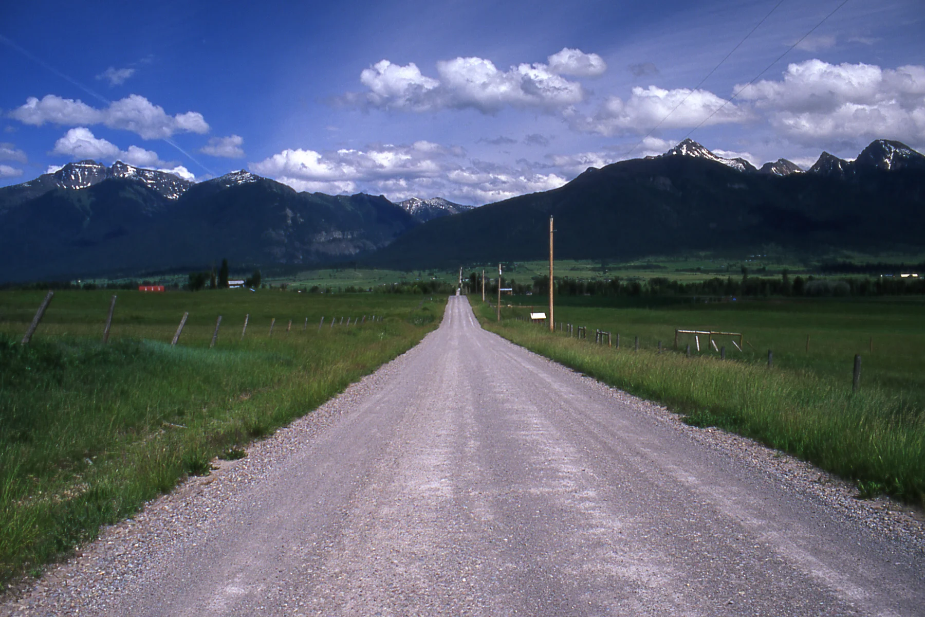
At the base of the Mission Mountains Tribal Wilderness on the Flathead Indian Reservation in Montana street signs are an anomaly. As I drove around the reservation, looking for a trailhead, it was obvious this place doesn’t get many visitors. Most travelers by-pass the reservation, not even veering off Highway 93 for gas as they head north to Glacier National Park or south to Missoula. But I did veer, and after an hour of dead ends, I found the pot-holed road to the trailhead. I thought everything was golden, but as I started toward the trail, a sign informed me that since I’m not a member of the Confederated Salish and Kootenai Tribes who manage this chunk of land, I was going to have to pay if I wanted to hike in their wilderness. I made a U-turn back to the main road, and found a souvenir store along the highway, where I paid my $15.
Tribal wilderness requires non-tribal members to buy a permit, and hopefully, they know how to read a map.
I returned to the trail and began my hike. Eventually the trail tapered into a single track, and then into a deer trail. Soon, I was walking close to the inside of the trail, trying not to let vertigo take over as I shot glances over the cliff to my right. I crossed a waterfall that forced me to hug the rocks buried under its stream. It was either that or slip 50 rocky feet out of sight. As I emptied the water from my boots, I got the feeling that the first and only tribal wilderness area in the United States isn’t managed for the ease or the safety of the Vibram-soled crowd. And I was right.
The western slope of the Mission Mountains does provide recreational opportunities, but the Mission Mountains Tribal Wilderness wasn’t created as a playground for outfitters, hikers and backpackers. The Confederated Salish and Kootenai Tribes in western Montana created the country’s first tribally designated wilderness to sustain values and help preserve the tribes’ culture. For thousands of years, the Salish, Pend d’Oreille, and Kootenai people used the Missions as a place to harvest medicinal plants, hunt, fish and pray. Tribal members would strike out alone into the Missions on vision quests or to simply be alone. It was a sacred place, and it still is. Today, members use the area to harvest plants and for subsistence hunting and fishing. Their water for drinking and agriculture has its beginnings in the wilderness. For tribal members who don’t physically go into the wilderness, they are content in knowing that a part of their culture and themselves is being preserved simply because the tribal wilderness exists. “Our songs come from those mountains. Our dreams, our hopes are taken there in the hope that we will get guidance and support from wilderness,” says Tony Incashola, a cultural leader of the Tribes.
On a map, a thick black line splits the Mission Mountains into two wilderness areas. Just over the Mission Divide, directly adjacent to the tribal wilderness, is the Mission Mountains Wilderness, managed by the U.S. Forest Service. At 73,877 acres, the federal wilderness is comparable in size to the tribal wilderness and together they run laterally for roughly forty miles.
Canoeing on McDonald Lake on the Flathead Indian Reservation makes paddlers feel relatively insignificant compared to surrounding peaks.
The boundary line designates more than a geographic divide. It represents different management goals, objectives and ideologies. The creation of the Mission Mountains Tribal Wilderness in 1982 marked the first time that a tribe elected to protect a sizable portion of its lands as wilderness. The tribes have determined the policy for the wilderness area, and it is often strikingly different from the land on the eastern slope. Where closures exist on the tribal side to protect grizzly bears as they feed on cutworm moths and ladybugs, no permanent closure exists just over the line on the federal side. To reach the safety of the tribal wilderness, bears must migrate along roads and through logging units. The tribes have also created buffer zones between human development and the wilderness area, placing restrictions on logging and development. But to the east, logging operations and roads march right up to the wilderness boundary allowing some snowmobilers easy, and illegal, access to the wilderness.
For nearly 40 years, this unique management situation has had the potential to be a political and logistical nightmare, yet both sides have found ways to make it work. The Forest Service educates their users about the tribal wilderness, and they coordinate with logging activity to help bears reach feeding grounds in the alpine basins of the tribal wilderness. As communities around the Mission Mountains, such as Missoula and Seeley Lake, continue to grow, pressure will be put on both areas as more people seek recreation in the Missions. Snowmobiles are a growing concern. The machines are getting bigger and better with every season, allowing riders access to places they never dreamed of riding years before. As visitor use increases and snowmobiles evolve, managers on both sides are learning to evolve as well.
Creating a Tribal Wilderness
Current and future generations can thank Thurman Trosper, a member of the Salish Tribe, for his substantial efforts in the creation of what is known today as the Mission Mountains Tribal Wilderness. Trosper was born at the foot of the Mission Mountains in 1918. He would hunt deer and elk in those mountains for weeks at a time. The mountains taught him to appreciate the outdoors, he says. After Trosper earned a degree in forestry at the University of Montana, he left Montana in 1941 to serve in the Marine Corps where he fought at the battle of Guadalcanal. After five years in the Marines, he began working for the Forest Service as a timber cruiser in 1946, finally ending his career in the Civil Service in 1973 as assistant to the director in the National Park Service. As if he hadn’t served enough, Trosper was then elected president of the Wilderness Society and served until 1976. Trosper traveled the world, but eventually he came full-circle back to his home on the Flathead. It was there that he took up yet another fight—a fight to save the mountains in his own backyard.
In 1937, John Collier, then Commissioner of Indian affairs, classified the Indian lands of the Missions as roadless area. Because the government did this without consent from the tribes, they protested and it was declassified in 1959. In the early 1970s, the Bureau of Indian Affairs proposed to log roadless areas at the base of the Missions. The lands had the potential to generate income, yet development would also compromise the mountains the tribes held—and still hold—sacred. As a possible solution, Trosper pasted together all of the area’s quadrangle maps and presented them to the council, proposing a tribal wilderness area. It was a hard sell. Earlier attempts to set aside the area as a national park had met with resistance, and some members wanted to set aside only areas with little or no timber value. In 1974, the decision to log or not to log in the Missions came down to a vote at a Tribal Council meeting.
But before the council voted, three YaYas paid the Council a visit, and changed the course of management for the Missions Mountains that still remains in place today.
Mission Falls in the tribal wilderness are a lofty goal for those seeking an unmarked adventure.
The three YaYas, or grandmothers, were part of a committee that was organized by community leaders to stop tribal timber sales proposed for the Missions. As respected elders of the tribes, when the YaYas speak, everyone listens. They spoke out against a lucrative logging proposal in Ashley Creek, in the very heart of the Missions. They explained to the council that “the land was not theirs to squander,” according to Germaine White, an information and education specialist with the Natural Resources Department of the tribes. When they were finished speaking, the chairman thanked the YaYas. But instead of leaving, the women sat and waited to see which council members would vote against their wishes. “It was a powerful force,” says White, and an effective one. The council decided unanimously against the timber sale. It would be the last proposed timber sale for what would become the Mission Mountains Tribal Wilderness.
Trosper’s job, though, was far from over. It would take eight years before the council made their historic decision to create the tribal wilderness. Before the decision was finalized, the tribe needed to draw boundaries and establish a management policy. Students at the newly formed Wilderness Institute at the University of Montana helped the tribes draw boundaries and devise a draft management proposal, and stuck with the project through several years of revisions and compromises. In 1979, the council approved the draft boundary and on June 15, 1982, the Council established the first tribal wilderness area in the U.S.
Because this was the first tribal wilderness area, no legal definition for wilderness existed except for that found in the 1964 Wilderness Act. Much of the language for the tribes’ definition of wilderness matches the federal act, yet with one significant difference: the primary purpose of the Mission Mountains Tribal Wilderness is the preservation of tribal culture. In contrast, in the federal wilderness just on the other side of the Mission Divide, visitor use and private interests play a leading role in management objectives.
Bridging the Divide
For decades, wilderness ranger Kari Gunderson has patrolled the trails of the Mission Mountains Wilderness. Her long tenure and love for the Missions has made her a integral player when it comes to communication between managers of the two wilderness areas. “The tribes don’t manage for recreation and that’s completely different from the Forest Service,” says Gunderson. “They have a different management strategy and it’s one that I admire. When people start bitching about closures or permits, it lets me explain to them about the first tribal wilderness.”
A backpacker works his way up to High Park Lake on the federal side of the Mission Mountains
For backpackers and hikers in the federal wilderness, some of the bitching stems from special restrictions and permits required to access the tribal wilderness from the federal side. If people choose to hike up over the divide and into tribal wilderness, they must purchase a hiking and camping permit from the tribes beforehand. The tribes don’t allow firearms or commercial outfitting on their wilderness.
Keeping visitor use down in a high priority for tribal managers, says Tom MacDonald, Division Manager for the tribes’ Fish, Wildlife, Conservation and Recreation Division. One way to keep use down is minimal or no trail maintenance and many trails in the wilderness have faded away over time. Today’s hikers must carry a good topo map, a compass and possess the skills to use them. An initial trails survey conducted by the Civilian Conservation Corps in 1941 counted 26 trailheads and 40 trails. In 1999, there were nine trailheads and 12 major trails that receive regular use and some maintenance. Switchbacks are uncommon on maintained trails, but climbing on all fours isn’t.
That’s just fine for Missoula-based hiker and photographer Charlie Eubank. “The trails are pretty sketchy but it’s kind of cool that it keeps the crowds down,” he says. “The less determined don’t go there.”
Perhaps the biggest difference in management can be seen in the foothills outside the boundaries of each wilderness area. In 1987, the Tribal Council began toying with the idea of a 22,833-acre buffer zone in the foothills of the Missions outside of the wilderness area. After working out the details, the council adopted a buffer zone management plan in 1993. The goal of the buffer zone is to control activities that may adversely impact the tribal wilderness and erode its primary purpose: to preserve tribal culture. Livestock grazing, timber harvest and even private development are monitored closely in the buffer zone. Some, like Peter Landres, an emeritus scientist with the Aldo Leopold Research Institute in Missoula, see the buffer zone as progressive thinking when it comes to protecting wilderness.
“Buffer zones make a lot of sense,” Landres says. “Old science said that simply drawing a boundary around an area would protect it. Now, ecological science strongly supports a buffer zone.” Forest Service policy prohibits buffer zones, he says, because they take timber out of production. The foothills of the federal wilderness on the eastern side of the Missions are a checkerboard of public and private land much of which are logged.
Endangered species such as grizzly bear migrate through this mix of public and private lands to reach the safety of the tribal wilderness, where roughly 10,000 acres have been set aside as a Grizzly Bear Conservation Zone. The tribes have closed the area to use human use in the summer months so the bears can live undisturbed. To its credit, Gunderson says that the Forest Service has identified the bears’ travel corridors. “Any timber-based activity, be it the Forest Service or Plum Creek, takes those corridors into consideration,” she says. “I think Plum Creek has been fairly compliant. The Forest Service works very, very hard with them on issues like this.”
While both sides do what they can to allow bears access into the wilderness, another breed of user is forcing both nations to work together. Each winter, the lure of open bowls and fresh powder draws a few rogue snowmobile riders on either side of the Mission Divide who find their way into both wilderness areas. As logging roads provide relatively easy access and technology builds better machines, snowmobilers are finding new places to ride. “I’m absolutely shocked where I see tracks,” says Gunderson. “They’ll go straight up avalanche chutes.” In the far northern stretch of the Missions, some snowmobile riders access the federal wilderness from the tribal side. If riders enter from one side and ride illegally in another, Gunderson says that both sides work together to locate access points and nab the illegal users. Andrew Johnson, a recreation planner with the Flathead National Forest, is working with motorized user groups to spread the word about the regulations surrounding both the federal and tribal wilderness areas. “The groups will then police themselves,” he says. “Peer pressure is much more effective than a $100 ticket.”
Like most visitors to the Mission Mountains, I’ve spent the majority of my time on the eastern portion in the federal wilderness where signs are more prevalent and trails tend to have more switchbacks. It’s just easier on that side, more user friendly. While the federal wilderness offers better access and jaw-dropping scenery, there is something special about being in the tribal wilderness, even if it rarely happens. Perhaps it’s the cultural significance embodied in the land by the Confederated Salish and Kootenai Tribes. Or maybe it’s buying a permit that reminds me that I’m a visitor and outsider. As more people like myself venture into the Missions, agency officials on both sides will come under increasing pressure to manage according to their agendas, policies and priorities. And with the cooperation and communication between the tribes and the Forest Service, both nations will preserve the unique character of each wilderness area in the Missions Mountains.
Hikers take in an early summer view in the Mission Mountain Wilderness Area